Survey, inspection and conservation — delivered by machine
Five kinds of work, all carried out by unmanned platforms that keep people off the water and out of it.
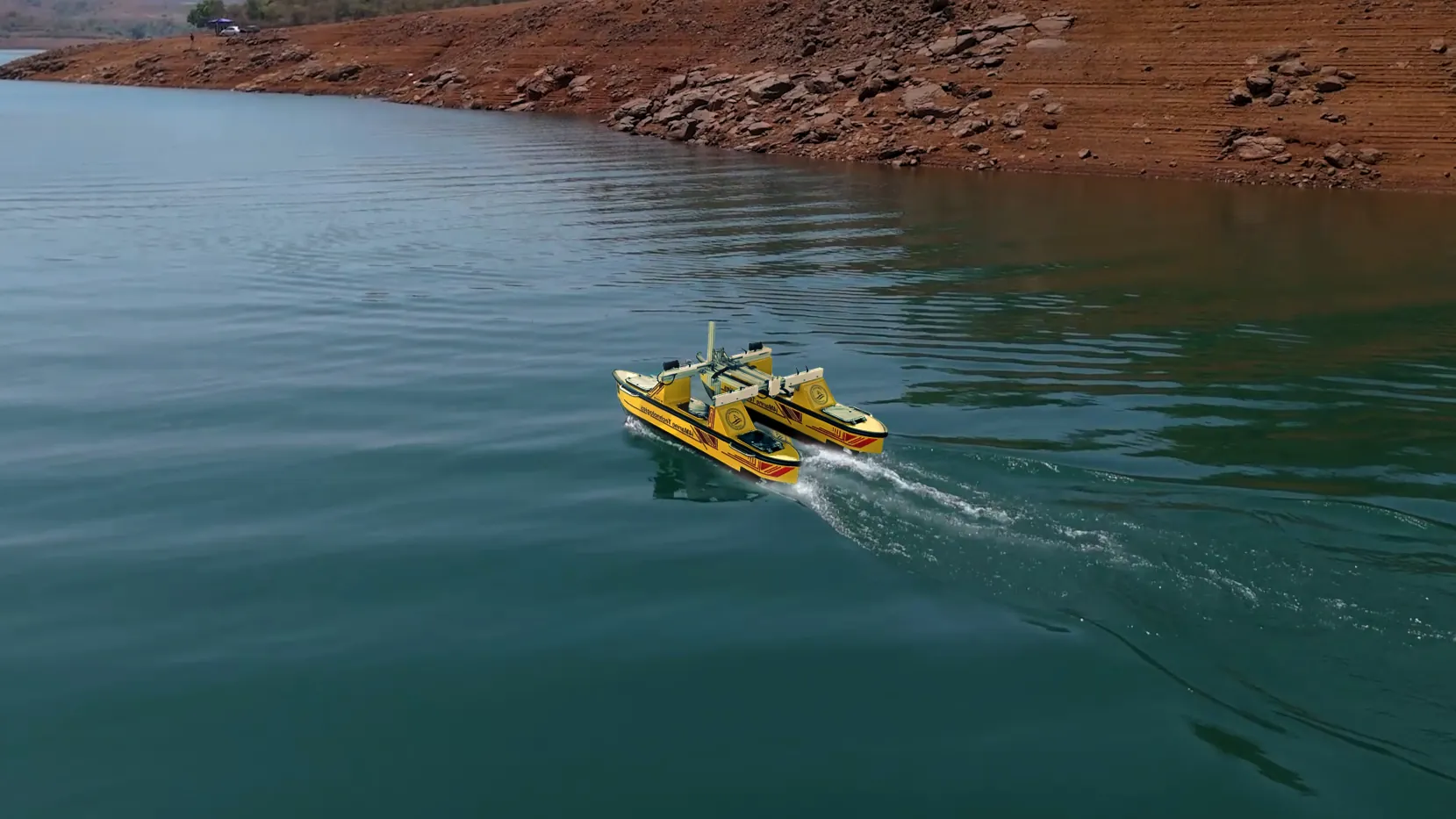
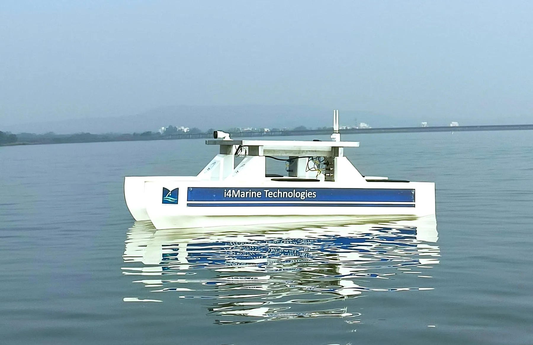
Bathymetric Survey
Knowing the true shape of the bed under a water body is the foundation of almost every decision made about it — storage capacity, dredging volumes, navigability, sedimentation rate. We run survey lines with sonar-equipped unmanned catamarans and deliver processed depth models rather than raw logs.
- Reservoir and dam capacity surveys
- Canal and irrigation channel profiling
- River and estuary bed mapping
- Port, harbour and jetty approach surveys
- Pre- and post-dredge volume comparison
Underwater Inspection
Submerged infrastructure fails out of sight. Our inspection-class ROV puts HD video on dam walls, hulls, piers and jetty piles without scheduling a dive team, which means inspection can happen on the asset’s schedule instead of the diver’s.
- Dam wall and spillway inspection
- Ship hull and propeller survey
- Bridge pier and abutment checks
- Jetty pile and quay wall condition surveys
- Post-incident and pre-monsoon assessments
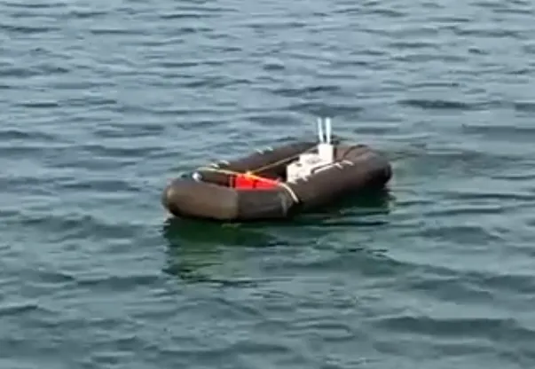
Water Quality Monitoring
A single sample tells you about one point on one day. Unmanned platforms make sampling repeatable and affordable enough to build an actual time series across a whole water body, which is what reveals a trend.
- Multi-point in-situ sensor runs
- Spatial water quality mapping
- Repeat monitoring campaigns
- Reservoir and lake health baselines
- Research-grade data collection for institutions
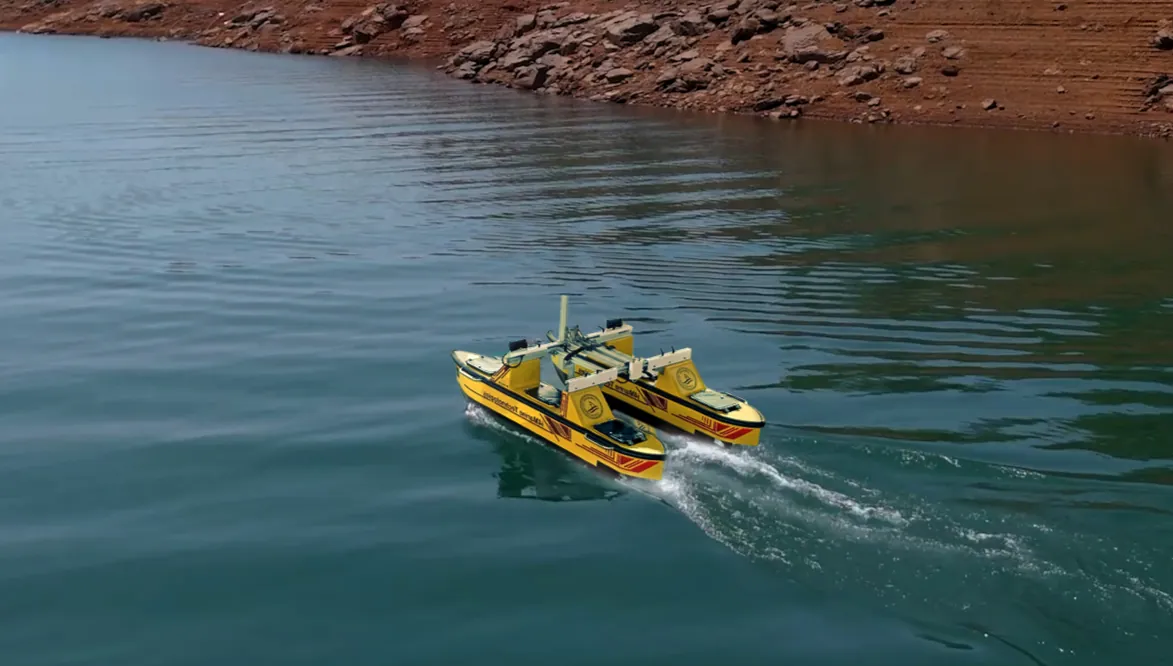
Water Conservation
Most Indian reservoirs hold less than their design capacity because of silt nobody has measured recently. Quantifying that loss is the first step to doing anything about it, and it is work our conservation programme exists to carry out.
- Siltation and sedimentation studies
- Live storage capacity reassessment
- Desilting prioritisation support
- Catchment impact assessment
- Long-term capacity trend monitoring
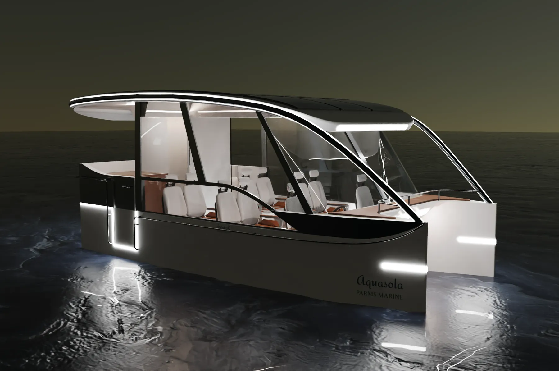
Green Passenger Mobility
The same engineering that makes an unmanned vessel efficient makes a passenger craft cleaner. Our green mobility work brings electric propulsion to inland passenger routes, tourism operators and backwater transport.
- Solar-electric passenger craft
- Low-noise tourism and heritage-lake operation
- Zero-emission inland transport routes
- Reduced operating cost per passenger-km
- Custom craft for operators and authorities
What teams usually ask first
How long does a reservoir survey take?
Can you survey while the reservoir stays in service?
What formats do you deliver data in?
Do you handle the regulatory permissions?
Have a water body that needs looking at?
Tell us the site and the question you need answered. We will tell you which platform and payload we would bring, and what it would cost.